Electronic Atlas
Glaciers of Georgia
Aragvi River Basin
a
b
c
d
Fig. 3. Contours of glaciers No. 23 – 25: a – according to the topographic map, b – according to the Landsat 5 TM sensor image of September 21, 2011, c – according to the Landsat 8 OLI TIRS sensor image of August 28, 2014, d – according to the Landsat 8 OLI TIRS sensor image of September 13, 2020.
a
b
c
d
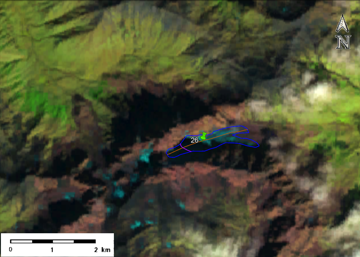
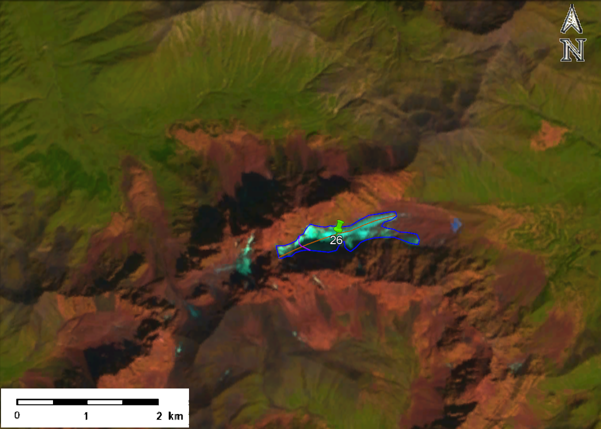
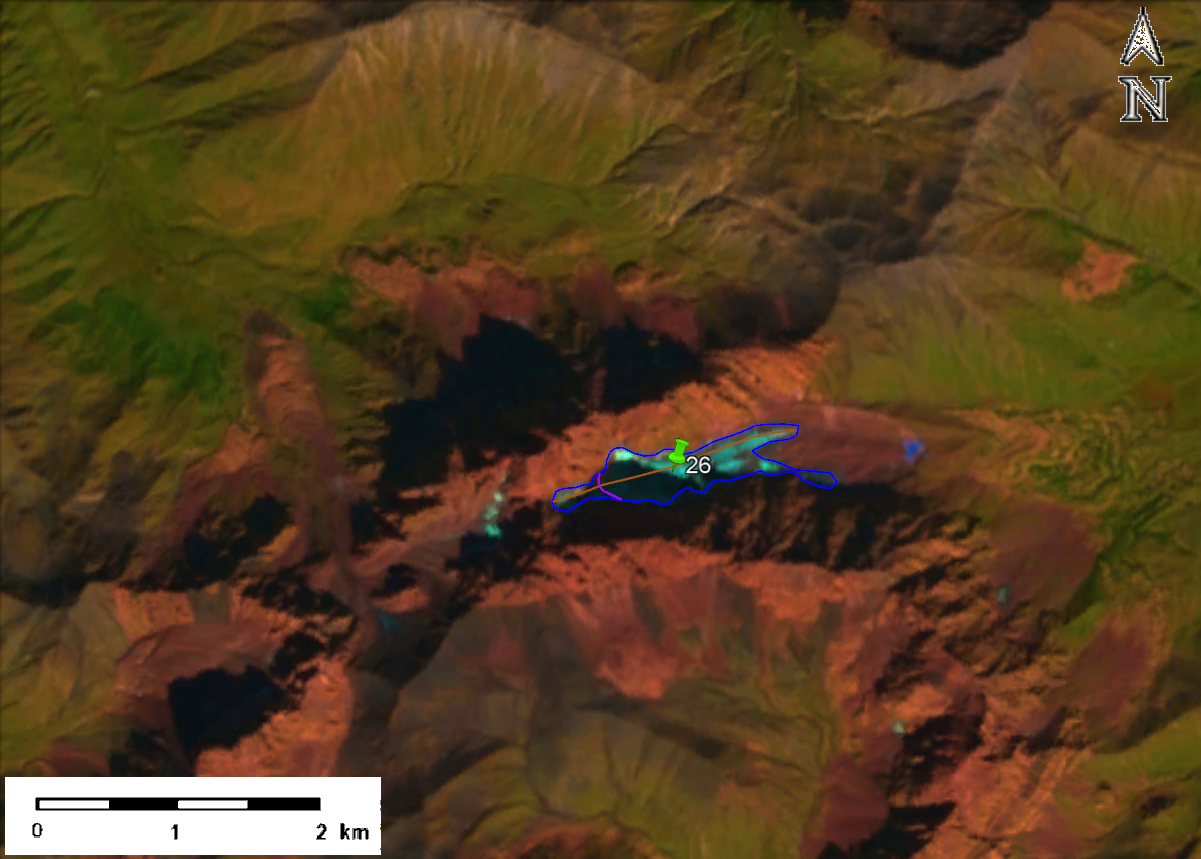
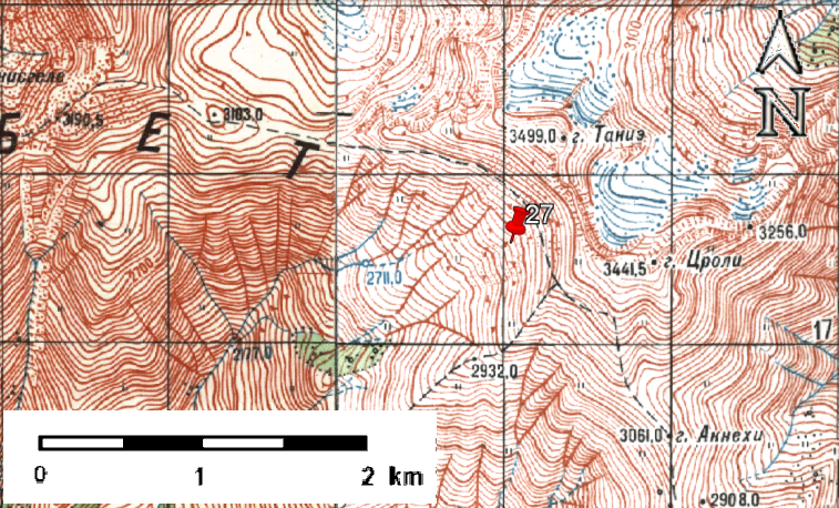
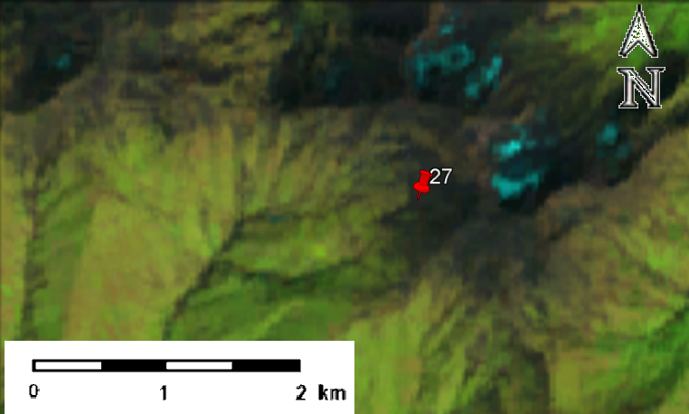
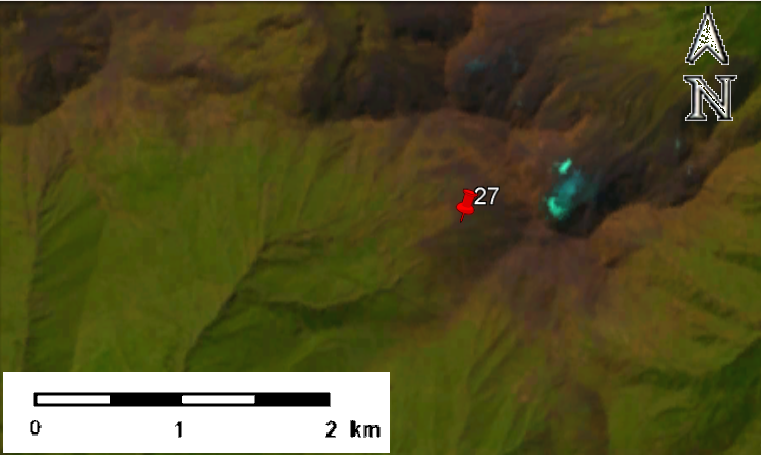
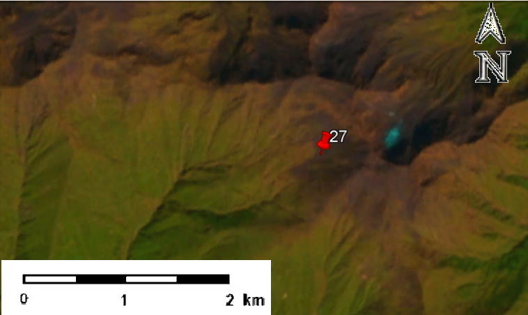
Fig. 4. Contour of glacier No. 26 (Abudelauri): a – according to the topographic map, b – according to the Landsat 5 TM sensor image of September 21, 2011, c – according to the Landsat 8 OLI TIRS sensor image of August 28, 2014, d – according to the Landsat 8 OLI TIRS sensor image of September 13, 2020.
a
b
c
d
Fig. 5. Contour of Glacier No. 27: a – according to the topographic map, b – according to the Landsat 5 TM sensor image of September 2, 2010, c – according to the Landsat 8 OLI TIRS sensor image of August 28, 2014, d – according to the Landsat 8 OLI TIRS sensor image of September 13, 2020.
USEFUL LINKS
Institute of Hydrometeorology of GTU © 2025. All rights reserved.