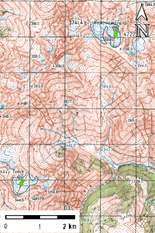
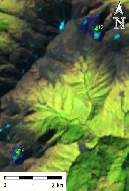
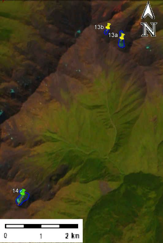
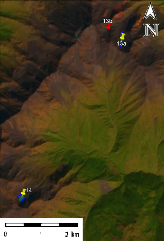
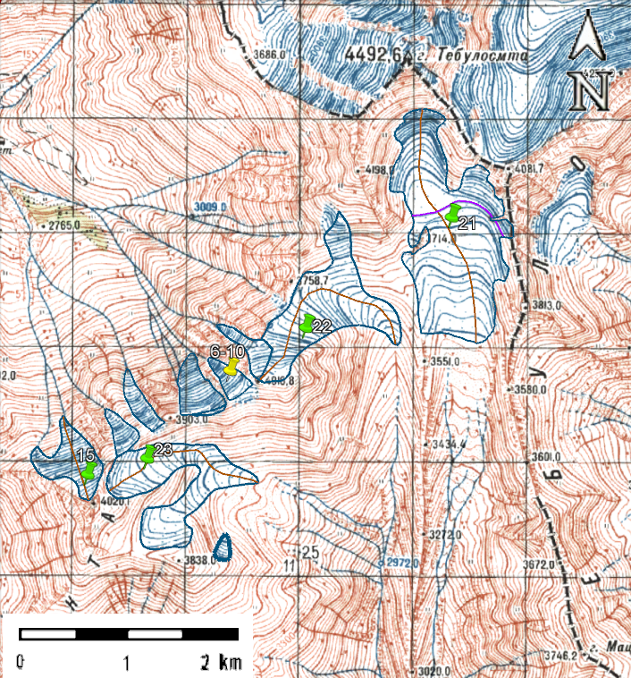
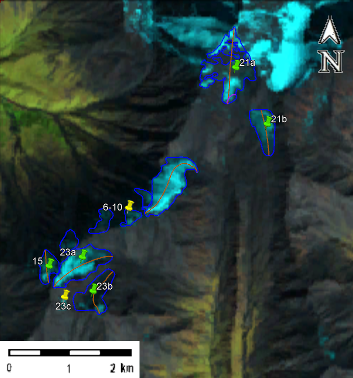
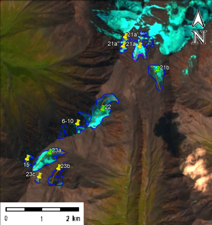
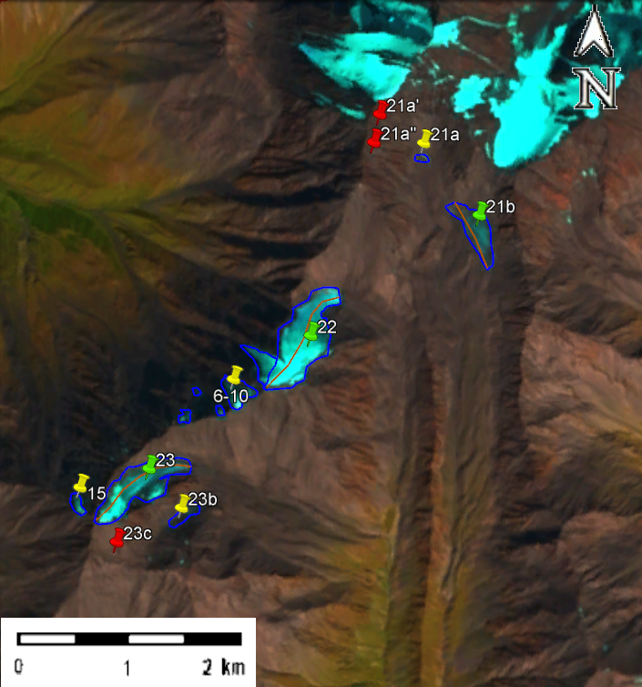
Fig. 3. Contours of glaciers No. 15 and No. 21 − 23 of the Pirikiti Alazani basin: a – according to the topographic map, b – according to the Landsat 5 TM sensor image of September 21, 2011, c – according to the Landsat 8 OLI TIRS sensor image of August 28, 2014, d – according to the Landsat 8 OLI TIRS sensor image of September 13, 2020.
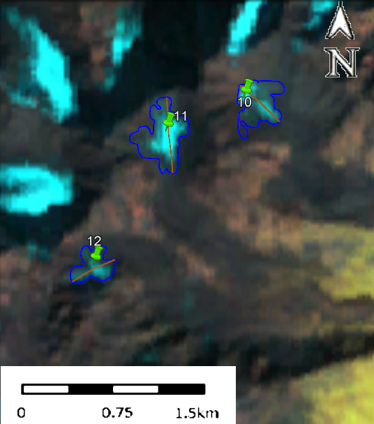
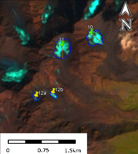
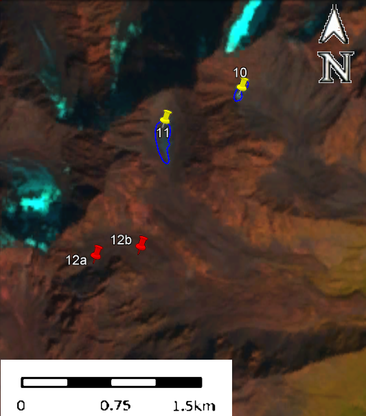
Note: The area of each glacier No. 6-10 is less than 0.1 km2. Accordingly, data on them are not included in the USSR Glacier Catalog. Two of these glaciers merged and formed three glaciers (snowfields) with an area of less than 0.1 km2.