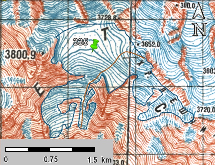
a
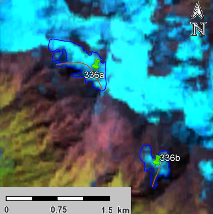
b
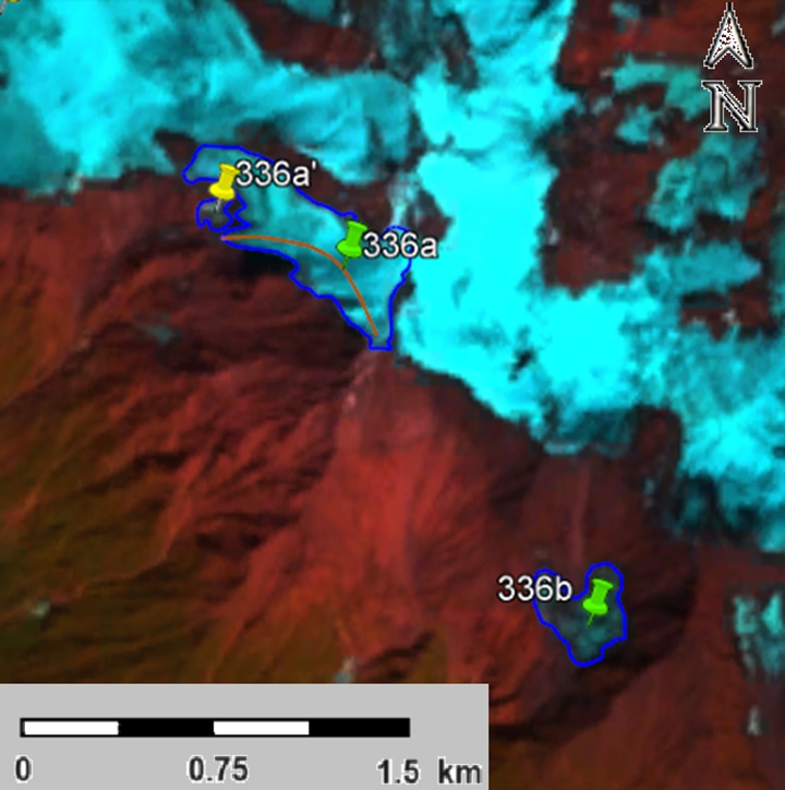
c
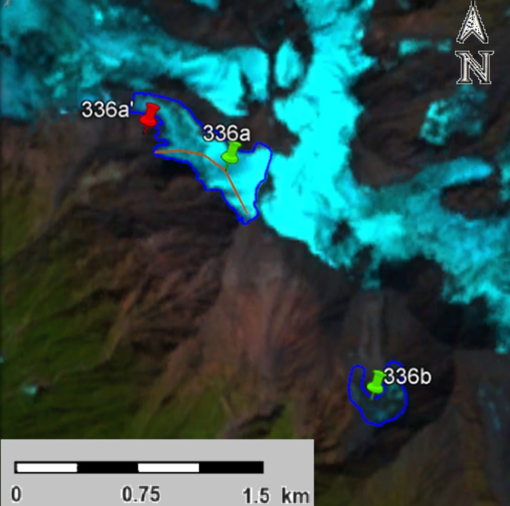
d
Fig. 1. Contours of glacier No. 335: a − according to the topographic map, b − according to the Landsat 5 TM sensor image of September 19, 2011, c − according to the Landsat 8 OLI TIRS sensor image of September 12, 2017, d − according to the Landsat 8 OLI TIRS sensor image of September 11, 2020.